
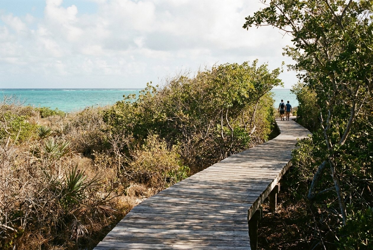
Las Cabezas de San Juan is a nature reserve covering the headland at the north-eastern tip of Puerto Rico, just north of Fajardo. For its size it holds a remarkable range of habitats: red and black mangroves, lagoons, a dry coastal forest, sandy beaches, rocky shore and, offshore, seagrass and coral reefs. At its highest point stands a white lighthouse built under Spanish rule in the late 19th century, now restored.
The reserve is managed for conservation and visited on guided tours, which need to be booked ahead.
The lighthouse
The lighthouse, El Faro, was built by the Spanish government in the early 1880s to guide ships around the north-eastern corner of the island and into the passages towards the Virgin Islands. It is a neoclassical building with a short tower rising from a single-storey house where the keepers lived. After decades of decline, it was restored in the late 20th century and now holds exhibits on the natural history of the reserve.
The terrace and tower give one of the best views on the coast. To the east, the cayes of the La Cordillera reserve run out towards Culebra, and on clear days the outline of the Virgin Islands appears on the horizon. To the south lie the bays and marinas of Fajardo and the green wall of El Yunque behind them.
Mangroves and the dry forest
A boardwalk leads through the mangroves around the edge of Laguna Grande, the lagoon famous for its glowing water at night. By day you can see how the mangroves work: red mangroves stand on arching prop roots in the water, while black mangroves send up rows of breathing roots from the mud. Crabs, small fish and wading birds live among them.
ALSO ON THIS STRETCH OF WATERIcacos and the La Cordillera cayesHigher up, the vegetation changes to a dry coastal forest of low, tough trees, cacti and shrubs adapted to little rain and salt wind. It is a very different world from the wet rainforest of El Yunque only a short drive away, and it shows how much the island's climate varies over short distances. Lizards are everywhere, and the reserve is good for birdwatching, with herons, pelicans, frigatebirds and many smaller species.
The shore and the sea
The reserve's coastline is a mix of rocky points and small beaches. Swimming is generally not part of the tours, and the open shore can have strong currents. Offshore, the seagrass beds and reefs are home to turtles and fish, part of the same marine system that continues out to the cayes.
- Visits are by guided tour only and must be booked in advance; tours fill up in high season.
- Wear closed shoes, bring water and protect yourself from the sun, since parts of the walk are exposed.
- Tours may be cancelled in bad weather.
- Combine a day visit with a night paddle on the lagoon from nearby Las Croabas, or with an evening in Fajardo.
The reserve is one of the best places on the island to understand the coast as a whole: how lagoon, mangrove, forest and reef depend on one another, and why the water around Fajardo is so clear and so rich in life.